Successfully shortlisted! Zhongdi Digital has been included in the semi-finals o

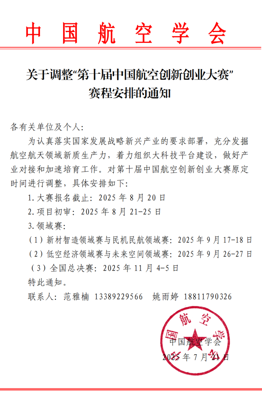
Recently, the list of 164 finalists in four fields of the 10th China Aviation Innovation and Entrepreneurship Competition, organized by the Chinese Society of Aeronautics, Aviation Industry Corporation of China, and Aero Engine Corporation of China, has been announced.
Zondy Digital's "Low-Altitude Airspace Digital Mapping System" project successfully entered the semi-finals list of the Low-Altitude Economy field in the entrepreneurial group category.

Image source: WeChat Official Account: Space World
The China Aviation Innovation and Entrepreneurship Competition CAIEC is a national-level innovation and entrepreneurship event focusing on the entire aviation industry chain, jointly initiated and hosted by the Chinese Society of Aeronautics and the Ministry of Commerce Investment Promotion Agency in 2016. The 10th competition has been reformed to establish four field competitions: "New Materials Intelligent Manufacturing", "Civil Aircraft and Civil Aviation", "Low-Altitude Economy", and "Future Space", focusing on key, hot, and difficult issues in the aviation industry, focusing on key technology breakthroughs and innovative enterprise discovery, and focusing on collaborative innovation in the upstream and downstream supply chains of aerospace new quality productivity.

This year, the low-altitude economy has continued to "break out of its circle" and become a typical representative of new quality productivity, rapidly emerging as a trillion-level industrial new track. The strong development of the low-altitude economy will also become a new engine for driving the development of Geographic Information Systems (GIS).

Image source: WeChat Official Account: Space World
Starting from CAD drafting software, Zondy Digital leveraged its decades of accumulation in the Geographic Information System (GIS) industry to precisely focus on the low-altitude economy field. The constructed low-altitude airspace digital mapping system has industry advantages and practical value, mainly reflected in:
Full-element digital mapping: Integrating BeiDou grid spatiotemporal reference with multi-source data (airspace rules, aircraft trajectories, building models, etc.) to achieve centimeter-level high-precision digital twins of low-altitude physical space, solving the pain point of "invisible airspace".
Intelligent dynamic mapping capabilities: Relying on AI computing power and distributed spatiotemporal operator clusters, supporting billion-level data processing in seconds, dynamically generating low-altitude airways, no-fly zones, traffic heat maps, etc., adapting to multi-scenario needs such as logistics and emergency response.
Integrated security and prevention: Building a "perception-warning-disposal" closed loop, real-time monitoring of flight deviations, no-fly zone intrusions and other risks, linking command delivery to ensure low-altitude flight safety.
Full domestication capability: Geographic information data involves national security. Zondy Digital's "Jiuzhou" series of products has achieved 100% domestication rate, fully compatible with domestic processors, operating systems, databases and other strategic core products, realizing storage, management, analysis and application of ultra-large-scale geographic data in a fully domestic environment, providing users with continuous, stable and efficient GIS technical support.
In the future, Zondy Digital will rely on its technical advantages in the field of spatial information, integrate the development pain points in the low-altitude economy field, continue to exert efforts, and promote the low-altitude economy towards broader application scenarios.


