Continuously deepen cultivation! Zhongdi Digital has once again been recognized as a big data enterprise in Wuhan, using technological innovation to support the development of Digital China
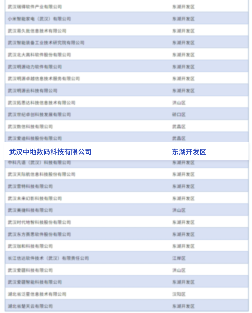
Recently, the list of Wuhan Big Data enterprises for 2025 has been officially announced. Wuhan Zondy Digital Technology Co., Ltd. has been honored for multiple consecutive years thanks to its outstanding technical capabilities, continuous innovation ability, and extensive social value, becoming one of the benchmark enterprises in Wuhan's big data industry!

Figure: Wuhan Big Data Enterprises Passing Certification
"Wuhan Big Data Enterprises" are certified by the Wuhan Big Data Association, aiming to select outstanding enterprises that have been continuously engaged in R&D and technology transformation in the field of big data, possess independent core intellectual property rights, and can provide full-chain services covering data collection, processing, management, and analysis, as well as diversified value-added services such as data consulting, computing, and visualization.
Technical Foundation: 30 Years of Independent Innovation, Breaking "Neck-Choking" Challenges
As a representative enterprise in Wuhan's big data field, Zondy Digital has been engaged in geographic information technology for over 30 years, consistently adhering to the development of autonomous and controllable core technologies, breaking through multiple "neck-choking" technologies, and forming a full-chain innovation capability from underlying platforms to industry applications. The company's independently developed MapGIS platform has won the National Scientific and Technological Progress Award five times and participated in national projects such as manned spaceflight and lunar exploration, providing key technical support for the Shenzhou spacecraft's return and search and rescue operations.
The newly launched MapGIS Full-Space Intelligent GIS Platform focuses on the deep integration of autonomous control with AI and big data technologies, integrating large model technology to achieve second-level building modeling and geological intelligent analysis; upgrading M3D lightweight technology to support efficient rendering and complex scene cloud rendering; building a full-stack domestic ecosystem compatible with mainstream domestic software and hardware; strengthening cloud-native elastic architecture and multi-tenant collaboration to empower fields such as natural resources 3D management, digital twin cities, and intelligent geological exploration, promoting the transition of geographic information from data management to intelligent decision-making.

Service Capability: Full Scenario Coverage, Creating Industry Digital Transformation Benchmarks
Zondy Digital has always adhered to the mission of "empowering Digital China and sharing geographic wisdom," relying on the MapGIS platform to build a solution system covering multiple fields such as smart cities, natural resources, geology, agriculture and forestry, and emergency response. In terms of service capability, Zondy Digital features "national layout + local response," forming a nationwide service network to provide users with full lifecycle support from data management and system development to industry applications.
This renewed certification is recognition from the industry of Zondy Digital's technical strength and contribution support. Looking to the future, Zondy Digital will continue to increase R&D investment, focus on cutting-edge technology exploration, lead with new quality productive forces, and continuously promote the deep integration of GIS with cloud computing, big data, artificial intelligence, BIM, Unreal Engine, and other technologies, innovating geographic information technology and products to contribute to the industry's digital and intelligent transformation and development.


