


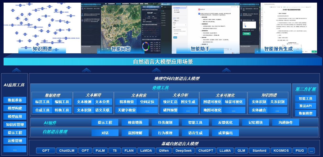
Connect to DeepSeek! MapGIS enriches the application of large-scale model geographic intelligent Q&A
Recently, the domestic GIS software MapGIS integrated DeepSeek big model, further enriching its large model geographic intelligent question answering application process.

Technology empowers MapGIS to build an intelligent defense line for gas safety
Zhongdi Digital is based on the domestically produced platform MapGIS, integrating digital twin, Internet of Things, artificial intelligence, AR/VR and other technologies to create a MapGIS smart gas solution. It has built a full process technical framework from pipeline data collection and analysis, comprehensive management to gas safety supervision and emergency control, exploring new digital, visual and intelligent management models for the entire process
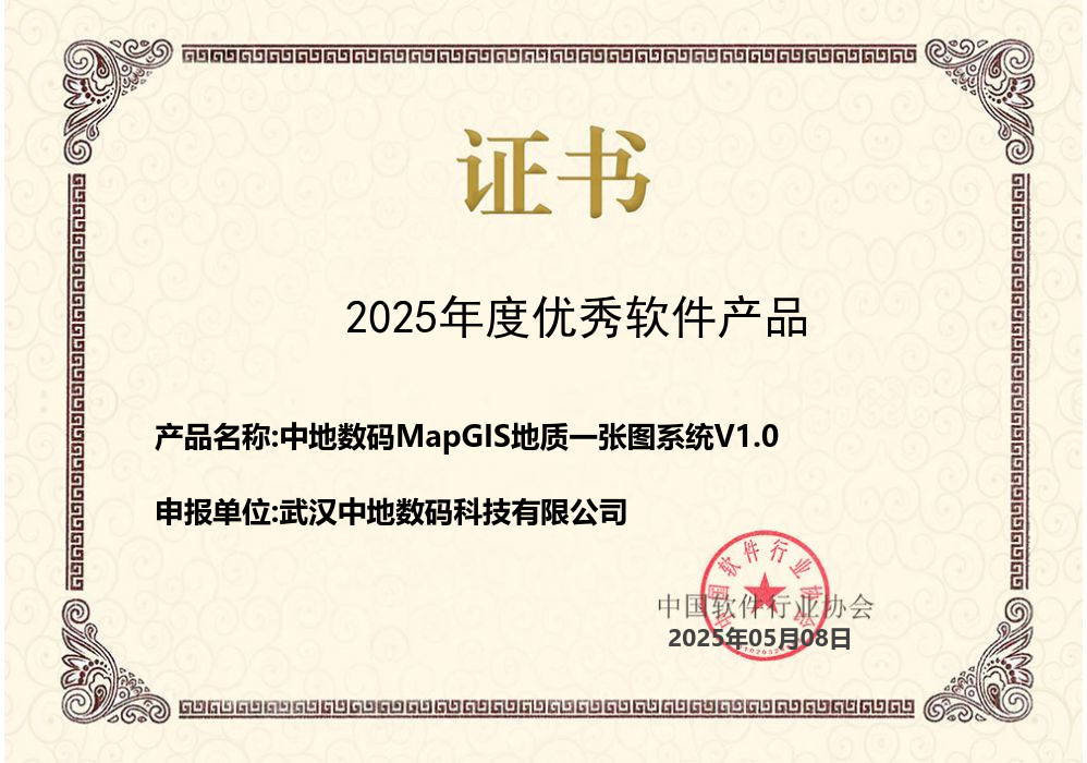
Zhongdi Digital MapGIS Geological Map System V1.0 awarded as Excellent Software Product of 2025
The MapGIS Geological Map System V1.0 independently developed by Zhongdi Digital stood out and was successfully selected.
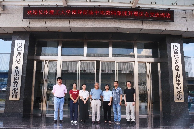
Leaders from Changsha University of Science and Technology visited Zhongdi Digital to explore new paths for school enterprise cooperation
Collaborate with GIS industry enterprises to provide high-quality employment for students and form a talent cultivation loop of "industry university research application".
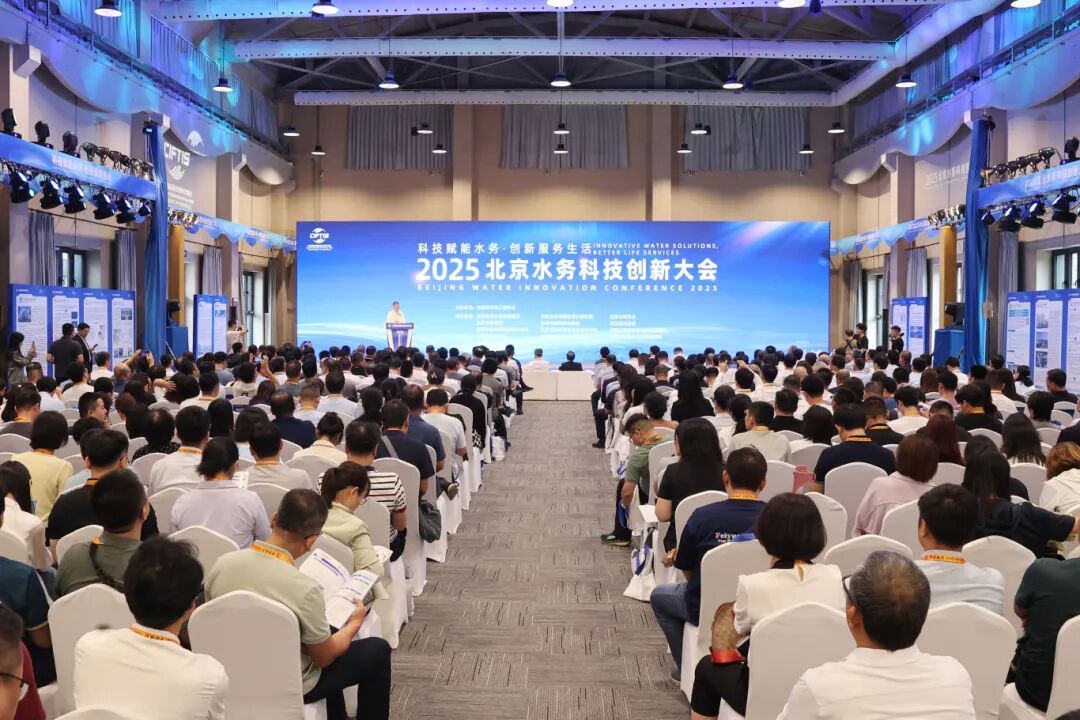
The 2025 China International Fair for Trade in Services (CIFTIS) has come to a successful conclusion, with Zhongdi Digital participating in the project and making its debut
In the future, relying on over 30 years of platform capabilities, Zhongdi Digital will continue to promote the construction of groundwater dynamic models and advance and deepen the digital management of groundwater.
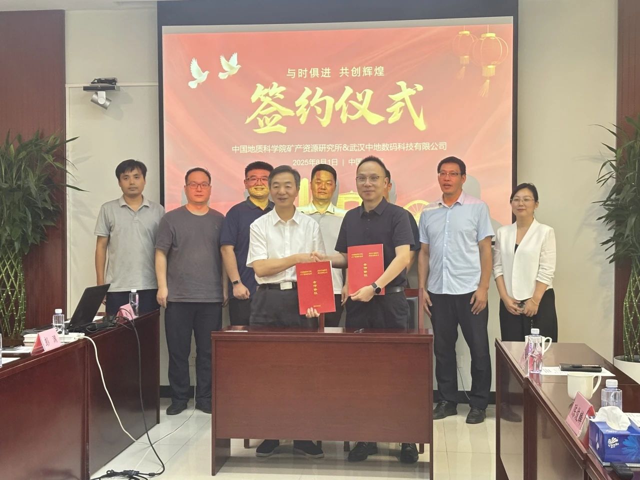
Building the cornerstone of innovation in geological and mineral information, the Institute of Mineral Resources, Chinese Academy of Geological Sciences, and Zhongdi Digital have signed a cooperation agreement
Enhance the informatization level of scientific research and mapping in the field of geology and mineral resources, and promote innovation and application of GIS technology in information and innovation


